


the following are 3 places visited by me and kevsy21 that dont really need a full report doing on em ,so ive chucked em together to hopefully make an interesting little report.
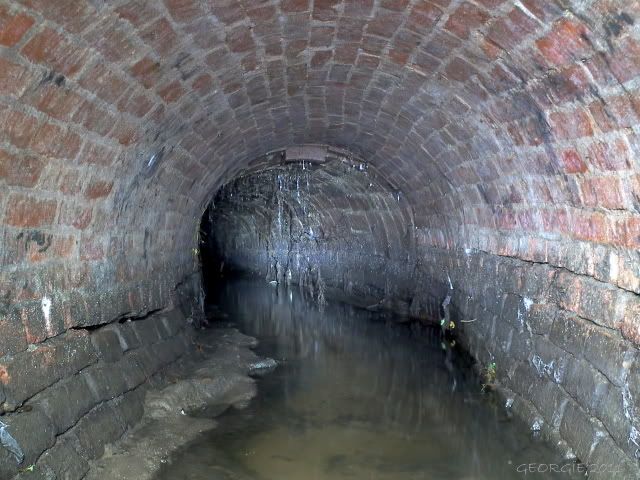
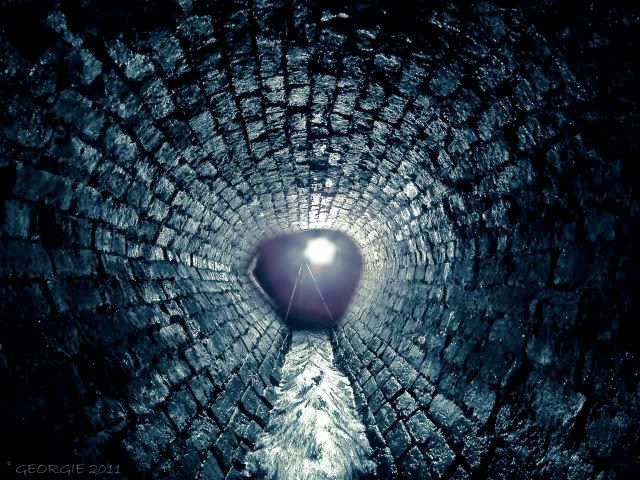
first up is section 2 as we like to call it from the river jordan culvert,this section is egg shaped brick that shortly turns into a heart shape due to the culvert on the verge of collapse,making the lovely egg into a heart.
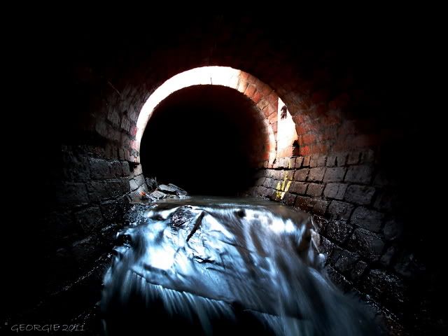
we was in the area checking out manhole covers and decided to check the flow down here as ive only really seen a steady trickle from in here but due to the recent snow melt we decided to pop the lid and take a look......and flowing it was
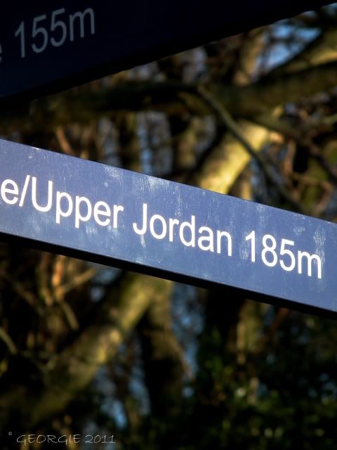
sefton park now has new signs installed pointing out the river jordans course,id never seen this one before and was quite surprised.....
heres a brief explanation on how the river jordan is formed
"The stream and pool were fed by two brooks known as the Upper Brook and the Lower Brook. The Lower Brook rose near Edge Lane and flowed through Toxteth Park Cemetery before meeting the Upper Brook in Sefton Park. The Upper Brook rose near Sandown in Wavertree and flowed into Greenbank Park and then into Sefton Park where it was channelled into the boating lake to meet the Lower Brook. From Sefton Park the stream was culverted until it re-emerged on the left of Otterspool Park gates. Before modifications were made to the flow of the stream, Osklesbrok was a vigorous watercourse with good quality fishing and contained a number of cascades along its course as it flowed through woodland before joining the Mersey."
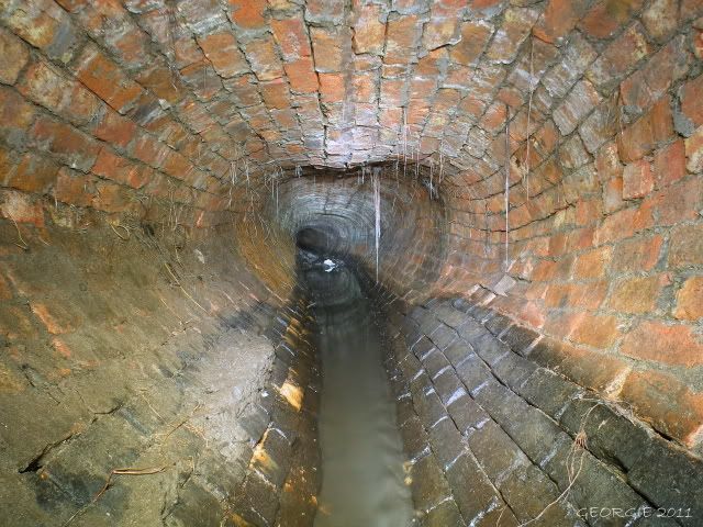
after dropping in here theres a build up of crap and silt which makes the end im now looking at in this picture impassible which is a shame because id like to see where the 2 ends meet ,the egg shaped and the normal brick arch from section 1
the build up of silt makes getting down here almost impossible
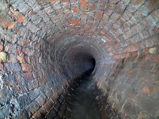
however a 360 degree turn and your in the egg shaped part which takes you up to the collapse.....we took a few shots ,went up to the collapse and left
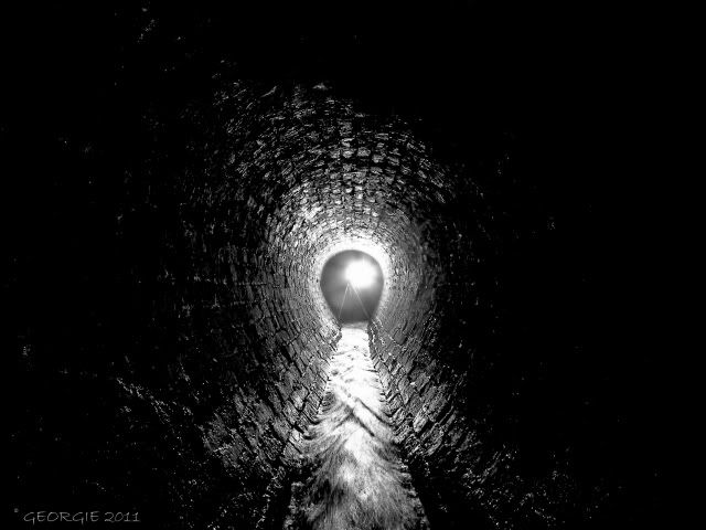
we was hoping to get past the collapse but due to the levels inside we decided to give it a miss until the levels go down as it will be a hands and knees jobby.
this pic was taken a while back when the water levels were low this but this time around due to the flow i couldnt get a decent pic so i used this pic just for reference.
ive added a little video of the flow down here for your viewing pleasure
click on the picture to play the video
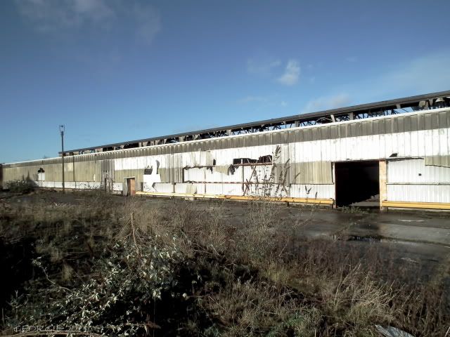
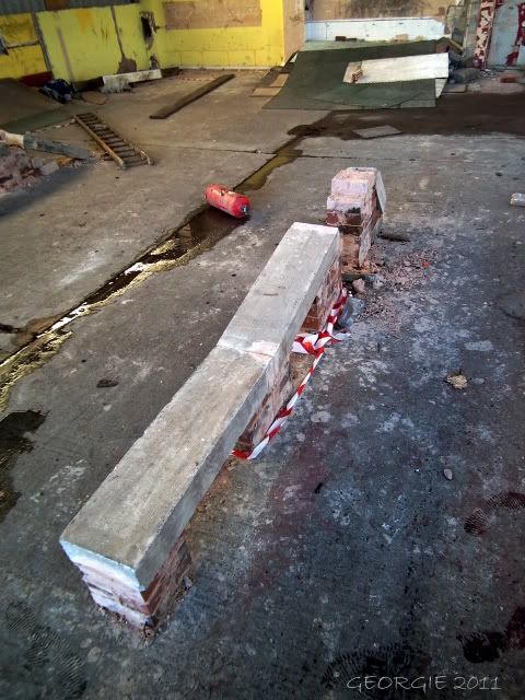
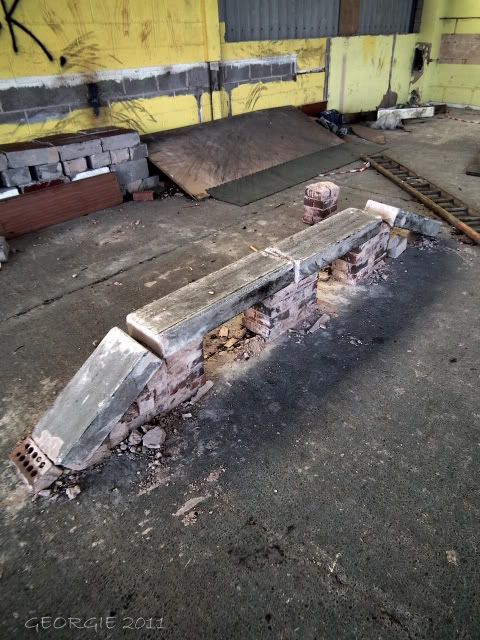
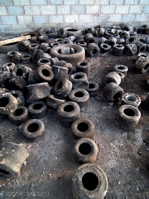
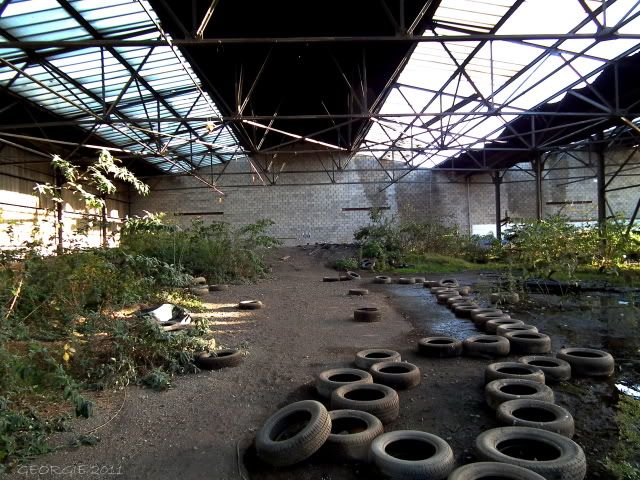
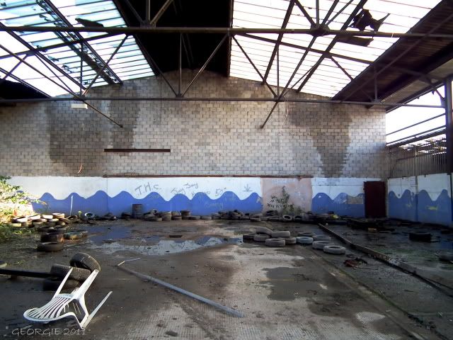
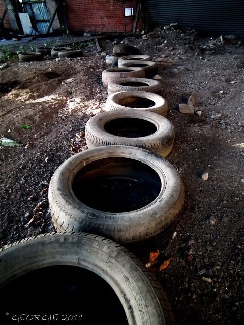
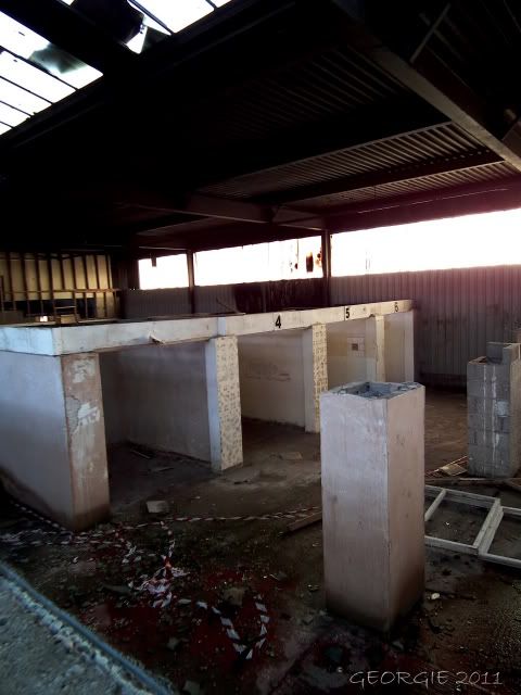
next up is a former go-kart and quad bike track (mooched by wimr a while back),and i think some sort of mini icerink,its old rail sheds prob connected at some point to the network rail place behind it.
at the front it seems the skaters use this as there hang out....a shame really as little than 1 mile up the road lies a skatepark crying out for redevelopment.....ill get onto that a little later
the old van now burnt out
evidence of rail hang on the walls
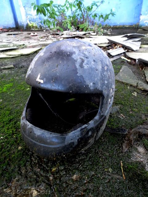
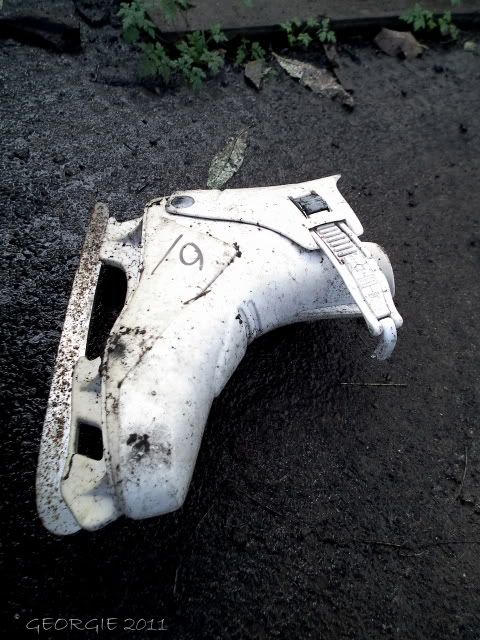
various derp
the quad part
and go-kart bit
evidence of work in here....or maybe just storage
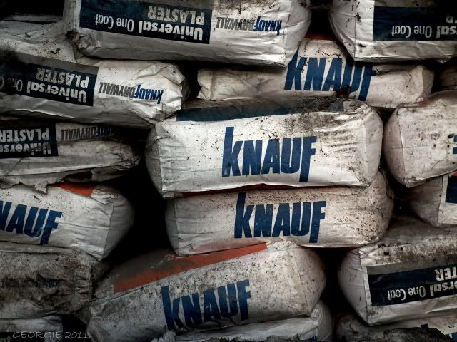
plaster.....epic stuff indeed
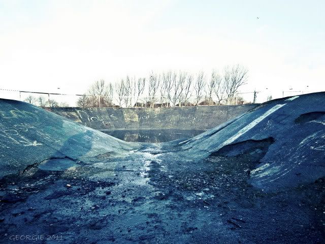
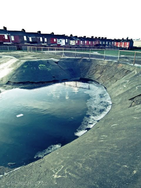
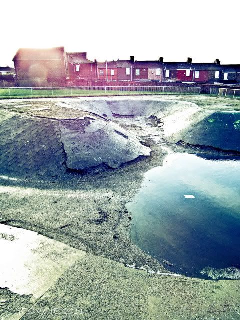
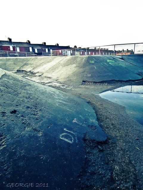
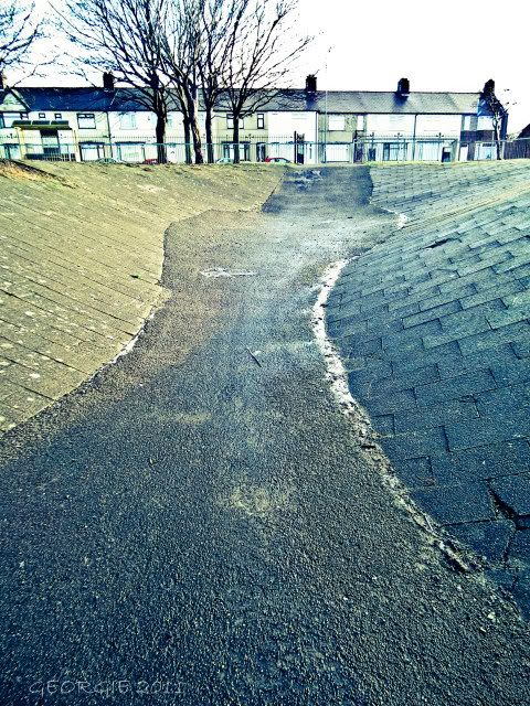
lastly is rathbone skatepark this kind of follows on from the go-kart track where the skaters were using the front....maybe this area would benefit from a new skatepark??? anyway this place dates back to the 70's ,it used to have a few halfpipes onsite but the fell into disrepair and were removed all that remains now is this battered skate park and a few fucked football pitches...i remember this place as a kid i would come here on my bike and arse around on the halfpipes....resulting in me going home full of cuts and bruises.
i found a video on youtube of this place in the 70's ive posted it for your viewing pleasure
http://www.youtube.com/watch?v=aa4N5cVx7cE
all that remains
from this picture....was where where the video was shot (i think)...you can see the houses at around 0.37 secs
Results 1 to 1 of 1
Thread: Liverpool 3 - December - 2011 -
-
20-12-2011, 01:21 AM #1
 still d.r.a.b.
- Join Date
- May 2009
- Posts
- 514
- Thanks
- 112
- Thanked 76 Times in 65 Posts
 Liverpool 3 - December - 2011 -


Similar Threads
-
Archived: Various Efforts,Liverpool 2011
By Kevsy21 in forum Other SitesReplies: 0Last Post: 04-01-2012, 05:01 PM -
Archived: Liverpool's "NEW" Festival Gardens Site - December - 2011 -
By georgie in forum Leisure sitesReplies: 0Last Post: 28-12-2011, 01:04 AM -
Archived: RAF Waltham December 2011
By urban phantom in forum Military sitesReplies: 0Last Post: 26-12-2011, 08:41 AM
